Single feature
One overlook, waterfall, bridge or trailhead, delivered as a shareable scene.
Ask for a quote →3D trail capture · Michigan and the Great Lakes
We walk your trails, overlooks, waterfalls and boardwalks, then bring back photoreal 3D scenes tied to real coordinates. Made for park departments, land conservancies, trail crews and tourism boards.
Why
A trail is never finished. Roots lift, banks slump, bridges weather, and one spring flood can rewrite a switchback. A photo shows one angle. A splat keeps the whole place, so you can walk it again from your desk and see what changed.
What we capture
The view at the top, in full depth.
Falls, cascades and the rock around them.
Bridges, boards and the ground beneath them.
Parking, signage, access points and first impressions.
Gullies, slumps and trail braiding, documented in detail.
Old growth, rock formations, ruins and markers worth keeping.
Who it’s for
A true to life 3D record of every segment, so crews scope work before they haul tools in, and archive what they left behind.
Let visitors stand at the falls before they make the trip. Embed the scene on your own site, next to your trail maps.
Show the surface, slopes and obstacles as they really look, so each visitor can decide what’s within reach.
Compare scenes of the same ground side by side to see what changed, what grew back and what needs attention.
Scenes of the finished work that funders can walk through themselves.
Industrial work
Working sites get the same photoreal 3D capture, for planning, documentation or reporting.
Stands, haul roads and boundaries, recorded as they look today.
Rights of way, structures and access routes, seen in their full setting.
Pits, faces, benches and stockpiles, documented in photoreal 3D.
The site as it stands, on record for the whole project team.
Fields, drainage, barns and outbuildings, captured as they are.
Downed trees, washouts, damaged structures: a clear record for insurers.
How it works
We walk the site with professional cameras and fly it by drone where the canopy allows. Aerial capture covers open ground, along with views over the canopy.
Thousands of frames become millions of soft 3D Gaussians: a photoreal scene you can move through freely.
We tie each scene to real world coordinates and scale, so it lines up with your survey data.
A shareable web viewer plus the files your GIS, planning and marketing teams already use.
Deliverables
We scope each project to how you’ll use it. A typical delivery includes:
Engagements
One overlook, waterfall, bridge or trailhead, delivered as a shareable scene.
Ask for a quote →A continuous stretch of trail with its key features, georeferenced end to end.
Ask for a quote →A network of trails or features, captured as one project.
Ask for a quote →Questions
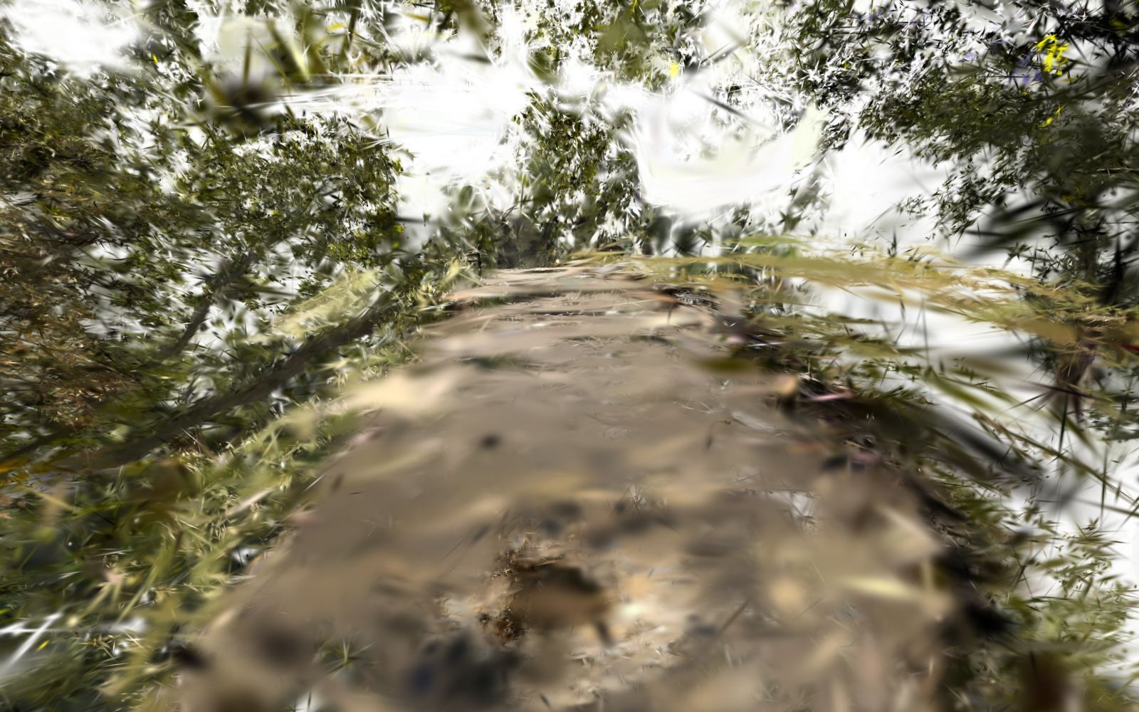
A 3D scene made of millions of small, soft, colored points (3D Gaussians) built from photos. Unlike a mesh, it keeps the look of real light on leaves, bark and rock. It renders in real time, even in a web browser, like the scene at the top of this page.
TrailSplat LLC works across Michigan and the Great Lakes. Ask about projects farther away.
Yes. We combine aerial capture over open ground with on foot capture under the canopy, where paths are narrow.
It depends on the site, terrain, weather and light. A single feature is often a short visit; larger projects are planned with you. You’ll get a schedule with your quote.
Yes. Web viewers run in modern mobile browsers, and we can prepare lighter versions for slower connections at the trailhead.
Every site is different, so pricing is by quote. Send a note about the place and what you need it for. You’ll hear back with options.
Contact
Where it is, roughly how long, and what you need it for. You’ll get a capture plan with a quote.
You’ll hear back at your email with questions or a quote. You can also write to info@trailsplat.com any time.
TrailSplat LLC · Michigan and the Great Lakes